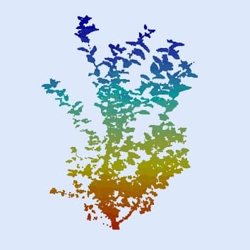

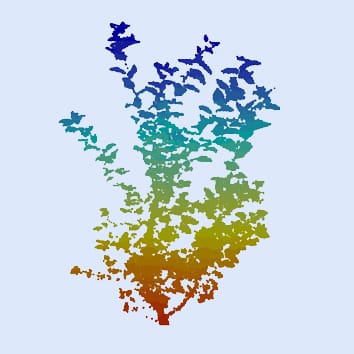
There is an increasing need for rapid and non-destructive determination of individual tree traits to input into forest management systems. Delagrange and Rochon test two methods based on remote sensing approaches to analyse hybrid poplar saplings (Populus trichocarpa × P. deltoides) and find that analysis of digital photographs using Tree Analyser software generally gives satisfactory results, but that utilizing point clouds acquired from terrestrial light detection and ranging (T-LiDAR) is more accurate. Specifically, T-LiDAR is a particularly promising tool for investigating the development of large perennial plants, by itself or in association with plant modelling.