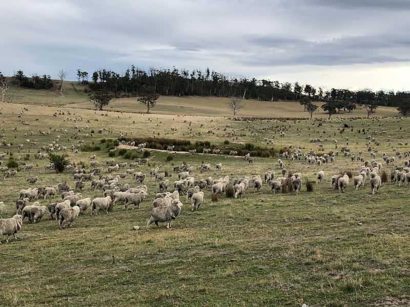


Seasonal pasture monitoring can increase the efficiency of pasture utilization for livestock grazing. Effective monitoring and management will help ensure long-term sustainability.
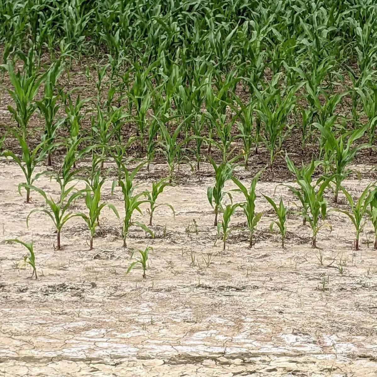
Manual monitoring of pasture over large areas is often infeasible due to time and financial constraints. To date, remote sensing and Geographic Information System (GIS) approaches do not have the temporal (sub-weekly) or spatial (< 20 m) resolution to facilitate grazing management decision making at the paddock level.
A new study conducted by Dr. Iffat Ara, a Research Fellow in Spatial Science at the Tasmanian Institute of Agriculture, University of Tasmania, colleagues from University of Tasmania and AgroInsider used high-resolution multispectral data from ESA’s satellite, Sentinel-2, to monitor pasture cover and botanical composition over an extended duration (seasonal) at paddock/field scales as a case study in Triabunna, Tasmania, Australia.