


https://youtu.be/AgcljjZ-mSw?t=124
Talk by Toby Pennington
https://twitter.com/JessBTurner/status/1169621248218763272
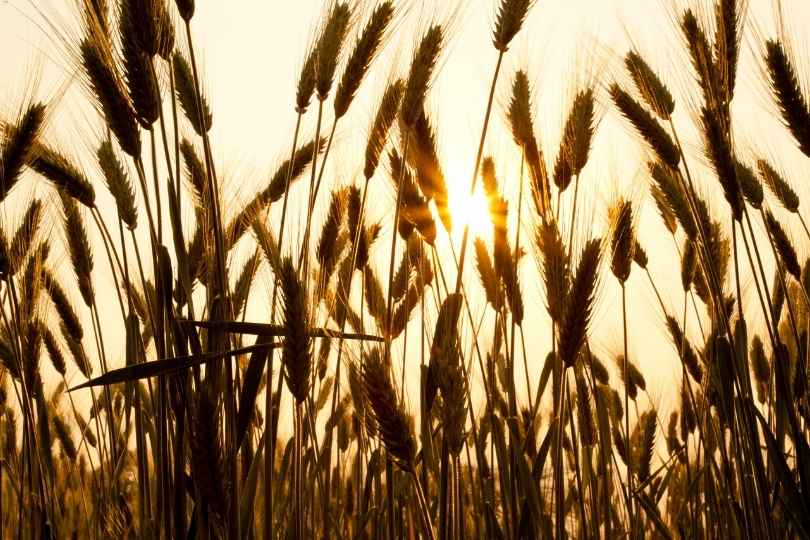
We began with Toby Pennington who wanted to highlight the problems faced by dry tropical forest. More than half of the global tropics are dry. Tropical dry forests are distributed across Latin America and the Caribbean in South America, and are highly threatened, with less than 10% of their original extent remaining in many countries.
https://twitter.com/JessBTurner/status/1169621711068680193
https://twitter.com/fiona_jordan/status/1169622675704242179
https://twitter.com/RJABuggs/status/1169623957424750592
So what is a biome?. “[A] biome is a multiscale phenomenon, spanning several large‐scale spatial levels, including global climatic zones, continents and landscapes at subcontinental and supraregional scales.”
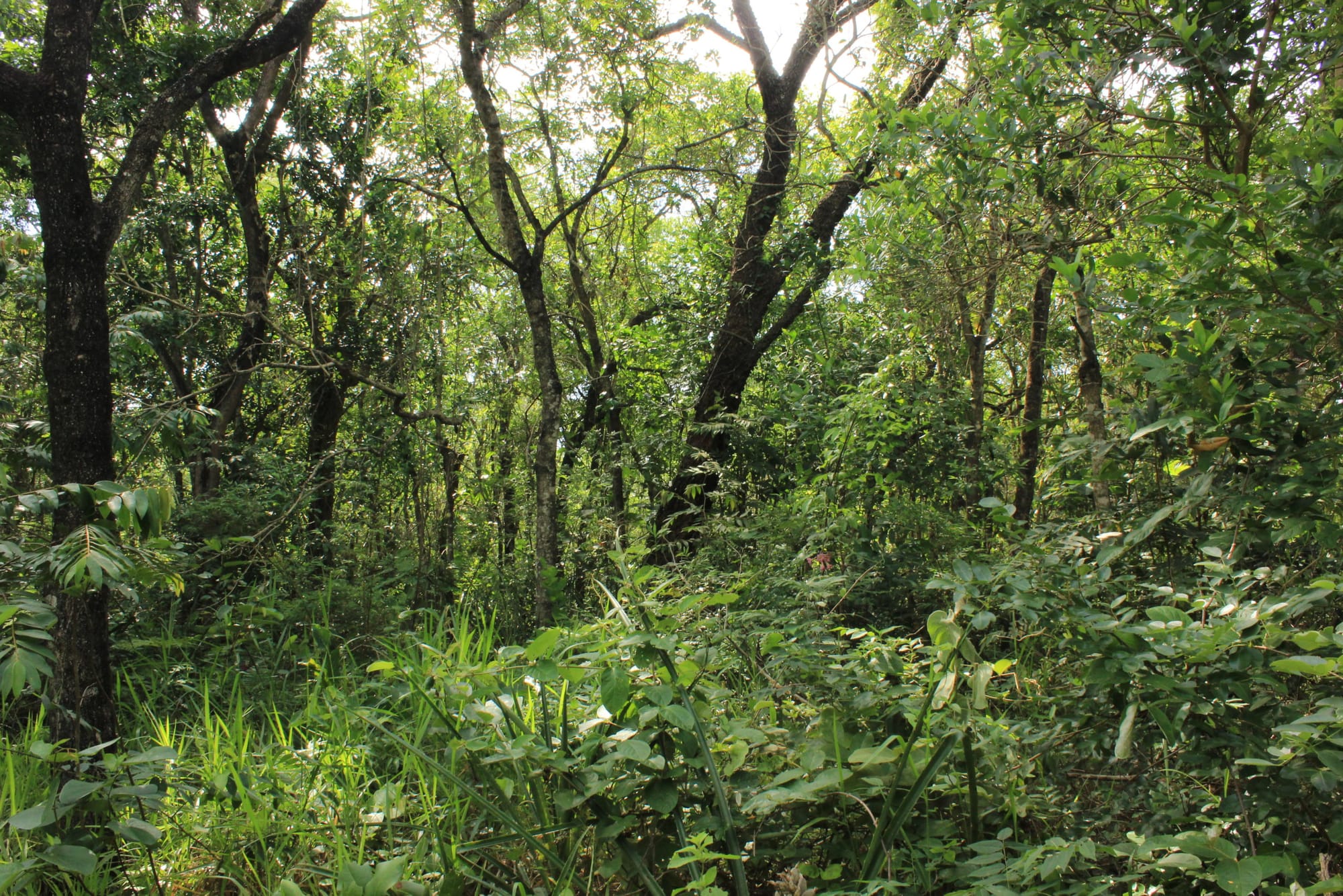
What is a savanna? Most savannas have trees, but they’re not forests, as they’re open. Pennington described biome blindness, people forgetting major vegetation types. The biodiversity of the dry tropics is special, Pennington said. There are 11,349 flowering species in the Amazon. Yet thare are 11,384 flowing species in the Cerrado. That’s (a fraction) more, and 30% of those species are endemic. So a plan “Let’s plant trees to mitigate climate change” could be a whole new ecological catastrophe.
Dryflor found over seven thousand woody species in just 1600 or so sites in Latin America and the Caribbean. Pennington highlighted how dry tropical forest doesn’t follow the rules? Is biodiversity higher closer to the equator? No one told Mexico’s forests, which are the most biodiverse dry tropical forests.
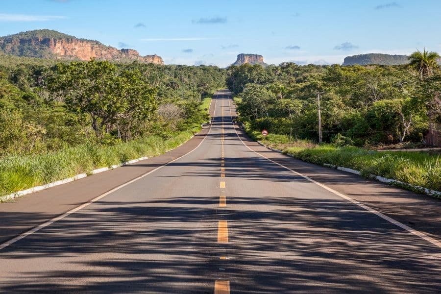
So it’s bad news that 50% of the Cerrado has disappeared. Loss varies with districts in the south and southwest of the Cerrado have experienced the greatest land conversion and are the least protected. Pennington argued that restoration at scale will be critical for drop tropical biomes. The Bonn Challenge needs 5 million hectares of Cerrado restored. It can be $7000 a hectare at the moment. You can do it cheaper with seed, but how do you do that over 5 million hectares. Where does the seed come from?
https://twitter.com/unisepala/status/1169628058862665729
Also what situation are you restoring to? When the systems mature, the climate will be very different. It would be eccentric to restore a site to a dying state.
https://youtu.be/AgcljjZ-mSw?t=1470
Talk by Cicely A. Marshall
https://twitter.com/plantspplplanet/status/1169626784540893184
Cicely A. Marshall looked at priorities for conservation and the economic demands of bauxite mining. If you think you know mining, then I should have caught a copy of the image of a bauxite mine. It’s a strip mine. It’s destructive, but it’s also a quarter of Guinea’s economy. It reminded of some of the strip-mining I’d seen in Australia’s north, where forest is removed.
To examine sites, Marshall uses RBS, Rapid Botanical Survey. They collect every vascular plant they can find. They get local names and uses as well as plants. They categorise the plants using a star rating to identify rarity. Using these ratings they can calculate a hotspot score. Every plat species of tropical Africa has a published star rating. That makes the system a replicable and transferable method of measuring plant rarity.
https://twitter.com/zoemig/status/1169629269175263233
https://twitter.com/plantspplplanet/status/1169629782843285504
The highest scoring habitat is wet bowé and riverine forest is close behind. The plants here have limited range. Around 40% of plants had a use, with many of them used medicinally. Bowé is burnt for cattle to graze. The riverine forests are also not valued locally.
The surveys provide a method to negotiate biodiversity conservation with local communities and mining concessions. Where possible effects of mining can be mitigated, and the survey can also identify what plants need to be restored.
https://youtu.be/AgcljjZ-mSw?t=2747
Talk by Jenny Williams
https://twitter.com/plantspplplanet/status/1169632437242138624
I had no reading for Jenny Williams work on drone survey mapping of illegal deforestation detection. I know small drones have been proven useful in forest assessments. But that’s it. I had drone envy from the start.
How to plan a drone flight to survey a forest in Madagascar by @jenjwilliams #ppp19 pic.twitter.com/BHTI8fYrpD
— Prof Richard Buggs (@RJABuggs) September 5, 2019