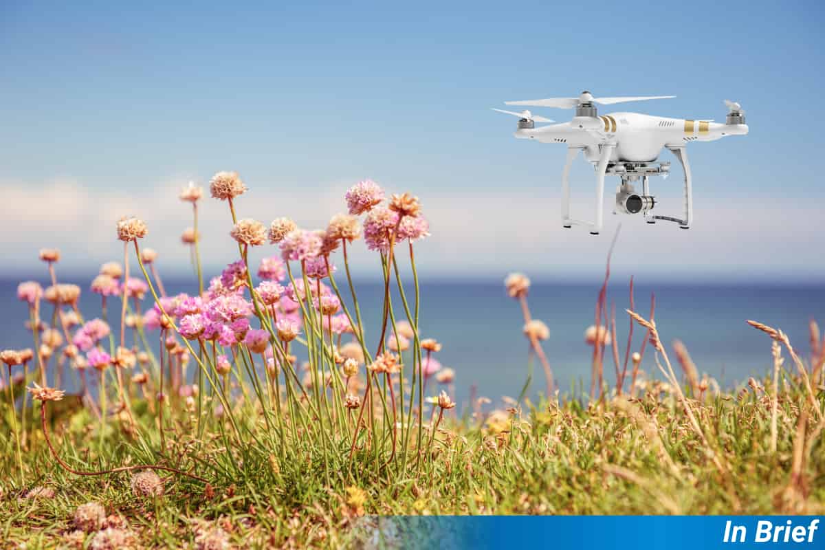


Traditionally, when researchers wanted to know the number of flowers available to pollinators in a given location, they had to go to the field and make an inventory. While such efforts are extremely valuable, they are pretty time-consuming and challenging to implement on a large scale. To deal with this, Sookhan and collaborators developed an automated computer system that could identify different wildflower species from aerial photos, potentially making it easier to monitor important pollinator habitats.
The team flew drones at different heights over meadows, taking thousands of overlapping photos that were stitched together into detailed maps. Then, a specially trained artificial intelligence program analysed these maps to spot and classify flowers by their colours and shapes.
Sookhan and collaborators’ automated system proved highly accurate at identifying flowers, particularly yellow goldenrods (Solidago), which were spotted correctly 82% of the time. Other flowers, such as white and purple asters (Symphyotrichum), were also well-identified, making the method reliable for surveying large areas quickly.
This brand-new drone method can survey much larger areas in less time, helping track changes in flower populations and better monitor pollinator habitats. Notably, this methodology employs consumer-grade drones, suggesting a high potential for replicability in other areas.
Sookhan, N., Sookhan, S., Grewal, D., & MacIvor, J. S. (2024). Automating field-based floral surveys with machine learning. Ecological Solutions and Evidence, 5(1), e12393. https://doi.org/10.1002/2688-8319.12393 (OA)